Former Church on Cranbrook Road
Introduction
The photograph on this page of Former Church on Cranbrook Road by Colin Bews as part of the Geograph project.
The Geograph project started in 2005 with the aim of publishing, organising and preserving representative images for every square kilometre of Great Britain, Ireland and the Isle of Man.

There are currently over 7.5m images from over 14,400 individuals and you can help contribute to the project by visiting https://www.geograph.org.uk
Former Church on Cranbrook Road
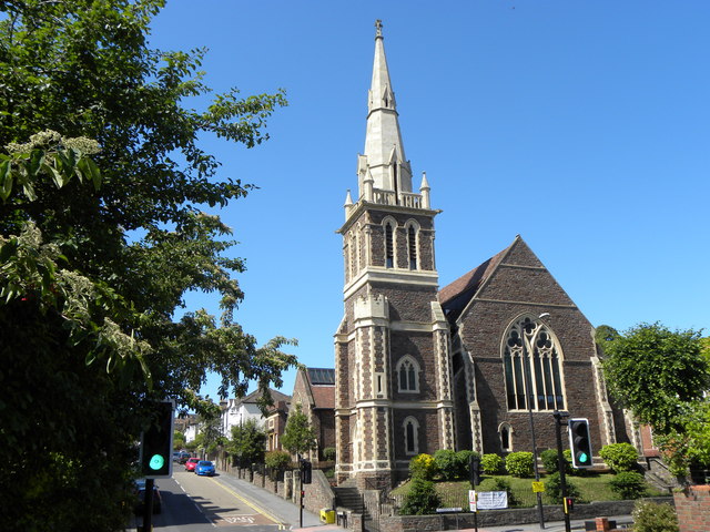
Image: © Colin Bews Taken: 11 Jun 2011
Trinity United Reformed Church was closed several years ago and has now been converted to apartments. The traffic lights are situated at the junction of Cranbrook Road and Kersteman Road.
Images are licensed for reuse under creativecommons.org/licenses/by-sa/2.0
Image Location
Latitude
51.473332
Longitude
-2.598756