Alresford bypass
Introduction
The photograph on this page of Alresford bypass by Graham Horn as part of the Geograph project.
The Geograph project started in 2005 with the aim of publishing, organising and preserving representative images for every square kilometre of Great Britain, Ireland and the Isle of Man.

There are currently over 7.5m images from over 14,400 individuals and you can help contribute to the project by visiting https://www.geograph.org.uk
Alresford bypass
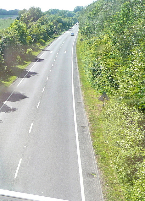
Image: © Graham Horn Taken: 21 May 2011
This is the A31 bypassing Alresford. For a bypass that was opened in December 1986 it is surprisingly just single carriageway. It takes a lot of traffic (but not today) although some still goes in to visit the lovely town centre and the Watercress Line. The B3046, Jacklyn's Lane, from Cheriton crosses on a bridge, and this was taken from the top deck of the bus.
Images are licensed for reuse under creativecommons.org/licenses/by-sa/2.0
Image Location
Latitude
51.079713
Longitude
-1.17255