Bacup: Greens Lane
Introduction
The photograph on this page of Bacup: Greens Lane by Dr Neil Clifton as part of the Geograph project.
The Geograph project started in 2005 with the aim of publishing, organising and preserving representative images for every square kilometre of Great Britain, Ireland and the Isle of Man.

There are currently over 7.5m images from over 14,400 individuals and you can help contribute to the project by visiting https://www.geograph.org.uk
Bacup: Greens Lane
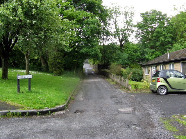
Image: © Dr Neil Clifton Taken: 8 Jun 2011
Former name Greens Road, but it is not wide enough for two cars to pass each other except in one or two places and at dead-slow speeds.
Images are licensed for reuse under creativecommons.org/licenses/by-sa/2.0
Image Location
Latitude
53.68903
Longitude
-2.218924