Taylor Square
Introduction
The photograph on this page of Taylor Square by Graham Horn as part of the Geograph project.
The Geograph project started in 2005 with the aim of publishing, organising and preserving representative images for every square kilometre of Great Britain, Ireland and the Isle of Man.

There are currently over 7.5m images from over 14,400 individuals and you can help contribute to the project by visiting https://www.geograph.org.uk
Taylor Square
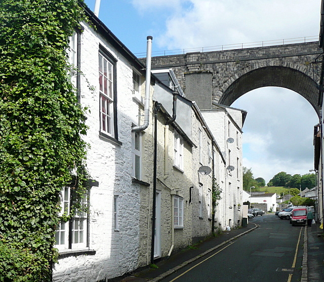
Image: © Graham Horn Taken: 31 May 2011
The viaduct of the former LSWR route from Plymouth via Okehampton to Exeter and on to London (Waterloo) crosses high above the town. These old houses are in Taylor Square. The viaduct is now a permissive path.
Images are licensed for reuse under creativecommons.org/licenses/by-sa/2.0
Image Location
Latitude
50.55134
Longitude
-4.14737