Lane to Higher Godsworthy
Introduction
The photograph on this page of Lane to Higher Godsworthy by Graham Horn as part of the Geograph project.
The Geograph project started in 2005 with the aim of publishing, organising and preserving representative images for every square kilometre of Great Britain, Ireland and the Isle of Man.

There are currently over 7.5m images from over 14,400 individuals and you can help contribute to the project by visiting https://www.geograph.org.uk
Lane to Higher Godsworthy
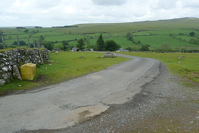
Image: © Graham Horn Taken: 30 May 2011
This lane just leads to the farm at Higher Godsworthy. Beyond is White Tor in Image We are just inside the open access land. Actually I only photographed this for the grit bin!
Images are licensed for reuse under creativecommons.org/licenses/by-sa/2.0
Image Location
Latitude
50.573272
Longitude
-4.078739