St Matthew's Church, Pontypool
Introduction
The photograph on this page of St Matthew's Church, Pontypool by Jaggery as part of the Geograph project.
The Geograph project started in 2005 with the aim of publishing, organising and preserving representative images for every square kilometre of Great Britain, Ireland and the Isle of Man.

There are currently over 7.5m images from over 14,400 individuals and you can help contribute to the project by visiting https://www.geograph.org.uk
St Matthew's Church, Pontypool
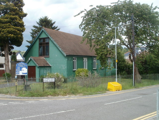
Image: © Jaggery Taken: 9 Jun 2011
There was a time, decades ago, when prefabricated corrugated-metal churches ("tin churches") were a common sight in many parts of the UK. Many have now been replaced by more modern buildings, but in Pontypool, two remain in use within about a kilometre of each other. This one, on Victoria Road, is St Matthew's Church, Pontymoile, a Church in Wales church, diocese of Monmouth. The other one is Race Methodist Church http://www.geograph.org.uk/photo/2452335 in Upper Race.
Images are licensed for reuse under creativecommons.org/licenses/by-sa/2.0
Image Location
Latitude
51.696874
Longitude
-3.035916