The confluence of the Rivers Dunsop and Hodder
Introduction
The photograph on this page of The confluence of the Rivers Dunsop and Hodder by Phil and Juliette Platt as part of the Geograph project.
The Geograph project started in 2005 with the aim of publishing, organising and preserving representative images for every square kilometre of Great Britain, Ireland and the Isle of Man.

There are currently over 7.5m images from over 14,400 individuals and you can help contribute to the project by visiting https://www.geograph.org.uk
The confluence of the Rivers Dunsop and Hodder
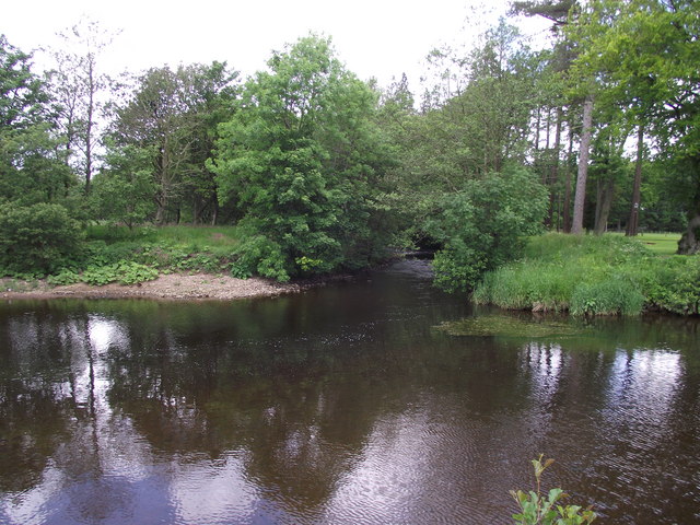
Image: © Phil and Juliette Platt Taken: 9 Jun 2011
Just east south east of the village of Dunsop Bridge. The Hodder, in turn later debouches into the River Ribble, which itself flows into the Irish Sea west of the city of Preston.
Images are licensed for reuse under creativecommons.org/licenses/by-sa/2.0
Image Location
Latitude
53.944996
Longitude
-2.515979