Canal towpath north of Five Locks Road, Cwmbran
Introduction
The photograph on this page of Canal towpath north of Five Locks Road, Cwmbran by Jaggery as part of the Geograph project.
The Geograph project started in 2005 with the aim of publishing, organising and preserving representative images for every square kilometre of Great Britain, Ireland and the Isle of Man.

There are currently over 7.5m images from over 14,400 individuals and you can help contribute to the project by visiting https://www.geograph.org.uk
Canal towpath north of Five Locks Road, Cwmbran
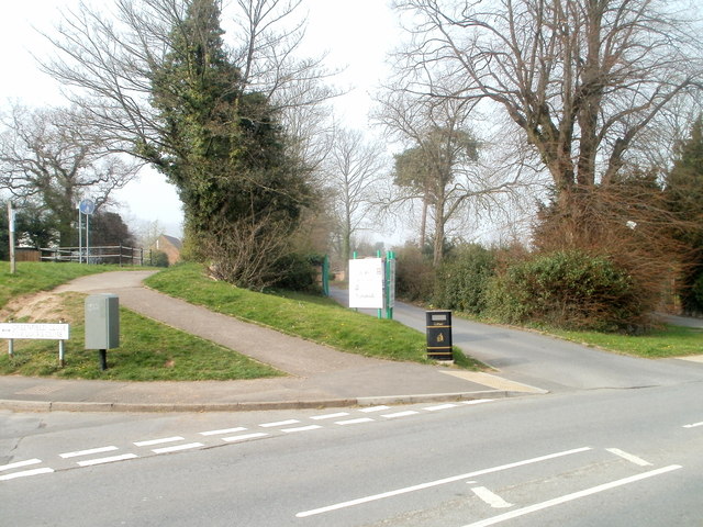
Image: © Jaggery Taken: 26 Mar 2011
The towpath (now a cycle route and footpath) along the disused Monmouthshire & Brecon canal resumes on the north side of Five Locks Road. The road sign at the lower left edge shows Greenfield Close and Five Locks Close.
Images are licensed for reuse under creativecommons.org/licenses/by-sa/2.0
Image Location
Latitude
51.666366
Longitude
-3.032327