Camsail Avenue, Helensburgh
Introduction
The photograph on this page of Camsail Avenue, Helensburgh by Lairich Rig as part of the Geograph project.
The Geograph project started in 2005 with the aim of publishing, organising and preserving representative images for every square kilometre of Great Britain, Ireland and the Isle of Man.

There are currently over 7.5m images from over 14,400 individuals and you can help contribute to the project by visiting https://www.geograph.org.uk
Camsail Avenue, Helensburgh
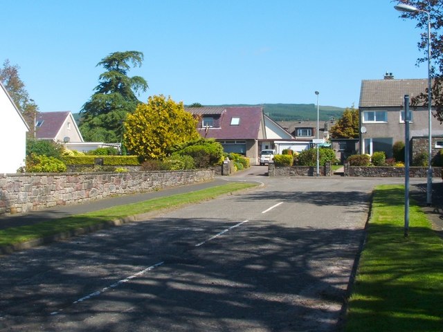
Image: © Lairich Rig Taken: 3 Jun 2011
The photograph was taken from the junction with West Clyde Street / Rhu Road Lower (the street name changes at about that point). The short Camsail Avenue leads away from the photographer's position, and towards Ferniegair Avenue, which appears in the background.
Images are licensed for reuse under creativecommons.org/licenses/by-sa/2.0
Image Location
Latitude
56.00554
Longitude
-4.750818