Fiskerton Wharf
Introduction
The photograph on this page of Fiskerton Wharf by Trevor Rickard as part of the Geograph project.
The Geograph project started in 2005 with the aim of publishing, organising and preserving representative images for every square kilometre of Great Britain, Ireland and the Isle of Man.

There are currently over 7.5m images from over 14,400 individuals and you can help contribute to the project by visiting https://www.geograph.org.uk
Fiskerton Wharf
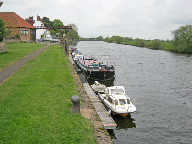
Image: © Trevor Rickard Taken: 8 May 2010
Looking north-east along the moorings. In the past this was a bustling wharf with several grain and coal warehouses as well as a ferry. The wharf still has a boat hoist and boat maintenance business, but the location is very tranquil.
Images are licensed for reuse under creativecommons.org/licenses/by-sa/2.0
Image Location
Latitude
53.051844
Longitude
-0.901957