Loughor valley, north of Fforest
Introduction
The photograph on this page of Loughor valley, north of Fforest by Hywel Williams as part of the Geograph project.
The Geograph project started in 2005 with the aim of publishing, organising and preserving representative images for every square kilometre of Great Britain, Ireland and the Isle of Man.

There are currently over 7.5m images from over 14,400 individuals and you can help contribute to the project by visiting https://www.geograph.org.uk
Loughor valley, north of Fforest
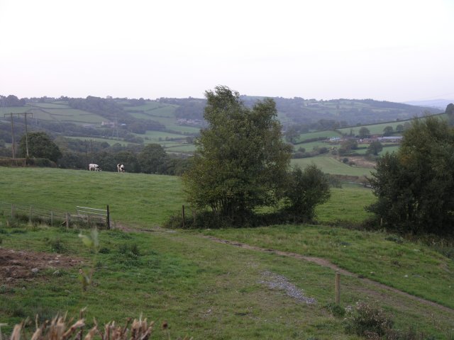
Image: © Hywel Williams Taken: 21 Sep 2006
The Loughor river meanders down its valley shortly before becoming a tidal estuary.
Images are licensed for reuse under creativecommons.org/licenses/by-sa/2.0
Image Location
Latitude
51.720396
Longitude
-4.051315