Bridge parapet, Old Frogmore Road
Introduction
The photograph on this page of Bridge parapet, Old Frogmore Road by Robin Stott as part of the Geograph project.
The Geograph project started in 2005 with the aim of publishing, organising and preserving representative images for every square kilometre of Great Britain, Ireland and the Isle of Man.

There are currently over 7.5m images from over 14,400 individuals and you can help contribute to the project by visiting https://www.geograph.org.uk
Bridge parapet, Old Frogmore Road
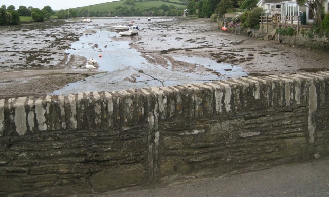
Image: © Robin Stott Taken: 19 May 2011
Note the vertical stone slabs to the full height of the parapet, and the massive coping of vertically-set stones. The view is down Frogmore Creek.
Images are licensed for reuse under creativecommons.org/licenses/by-sa/2.0
Image Location
Latitude
50.270634
Longitude
-3.720027