Brook dives under the road
Introduction
The photograph on this page of Brook dives under the road by Robin Stott as part of the Geograph project.
The Geograph project started in 2005 with the aim of publishing, organising and preserving representative images for every square kilometre of Great Britain, Ireland and the Isle of Man.

There are currently over 7.5m images from over 14,400 individuals and you can help contribute to the project by visiting https://www.geograph.org.uk
Brook dives under the road
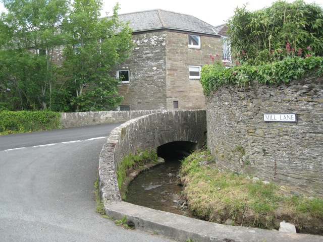
Image: © Robin Stott Taken: 19 May 2011
The road in the foreground is Mill Lane, not Orchard Close as shown on Streetmap. The road crossing the brook is believed to be Old Frogmore Road, not Orchard View as shown on Streetmap.
Images are licensed for reuse under creativecommons.org/licenses/by-sa/2.0
Image Location
Latitude
50.270655
Longitude
-3.718624