Outskirts of Muir of Ord
Introduction
The photograph on this page of Outskirts of Muir of Ord by Stuart Logan as part of the Geograph project.
The Geograph project started in 2005 with the aim of publishing, organising and preserving representative images for every square kilometre of Great Britain, Ireland and the Isle of Man.

There are currently over 7.5m images from over 14,400 individuals and you can help contribute to the project by visiting https://www.geograph.org.uk
Outskirts of Muir of Ord
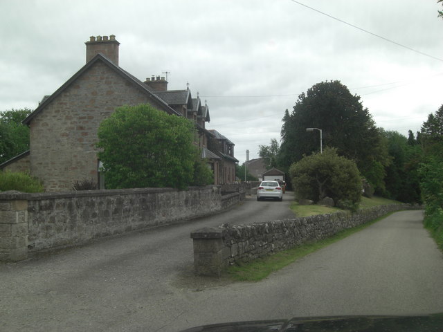
Image: © Stuart Logan Taken: 4 Jun 2011
These few houses adjoin the Ord Distillery complex on the minor road from Marybank.
Images are licensed for reuse under creativecommons.org/licenses/by-sa/2.0
Image Location


Leaflet Map data © OpenStreetMap
Latitude
57.521953
Longitude
-4.480418