Across the recreation ground
Introduction
The photograph on this page of Across the recreation ground by Michael Dibb as part of the Geograph project.
The Geograph project started in 2005 with the aim of publishing, organising and preserving representative images for every square kilometre of Great Britain, Ireland and the Isle of Man.

There are currently over 7.5m images from over 14,400 individuals and you can help contribute to the project by visiting https://www.geograph.org.uk
Across the recreation ground
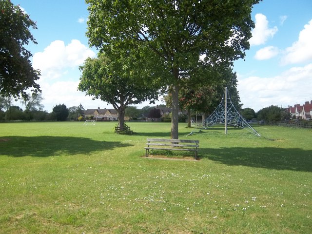
Image: © Michael Dibb Taken: 8 May 2011
The footpath ends where it meets Collin Lane after crossing the recreation ground.
Images are licensed for reuse under creativecommons.org/licenses/by-sa/2.0
Image Location
Latitude
52.056308
Longitude
-1.850026