Staggered crossroads on the A5086
Introduction
The photograph on this page of Staggered crossroads on the A5086 by Bill Boaden as part of the Geograph project.
The Geograph project started in 2005 with the aim of publishing, organising and preserving representative images for every square kilometre of Great Britain, Ireland and the Isle of Man.

There are currently over 7.5m images from over 14,400 individuals and you can help contribute to the project by visiting https://www.geograph.org.uk
Staggered crossroads on the A5086
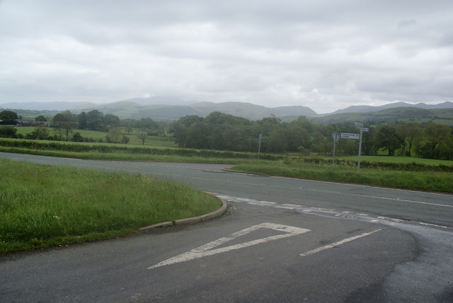
Image: © Bill Boaden Taken: 29 May 2011
The A road marks the boundary of the Lake District National Park, and some of the western fells are visible here.
Images are licensed for reuse under creativecommons.org/licenses/by-sa/2.0
Image Location
Latitude
54.629539
Longitude
-3.387592