Zoom shot of Chesterfield Road houses, Shuttlewood
Introduction
The photograph on this page of Zoom shot of Chesterfield Road houses, Shuttlewood by Andrew Hill as part of the Geograph project.
The Geograph project started in 2005 with the aim of publishing, organising and preserving representative images for every square kilometre of Great Britain, Ireland and the Isle of Man.

There are currently over 7.5m images from over 14,400 individuals and you can help contribute to the project by visiting https://www.geograph.org.uk
Zoom shot of Chesterfield Road houses, Shuttlewood
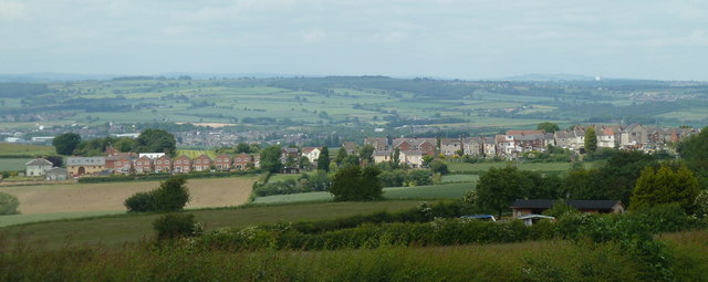
Image: © Andrew Hill Taken: 6 Jun 2011
Overlooking the linear development along the B6418 in Shuttlewood from the road from Bolsover.
Images are licensed for reuse under creativecommons.org/licenses/by-sa/2.0
Image Location
Latitude
53.249456
Longitude
-1.302764