Lane near Stoodleigh
Introduction
The photograph on this page of Lane near Stoodleigh by Derek Harper as part of the Geograph project.
The Geograph project started in 2005 with the aim of publishing, organising and preserving representative images for every square kilometre of Great Britain, Ireland and the Isle of Man.

There are currently over 7.5m images from over 14,400 individuals and you can help contribute to the project by visiting https://www.geograph.org.uk
Lane near Stoodleigh
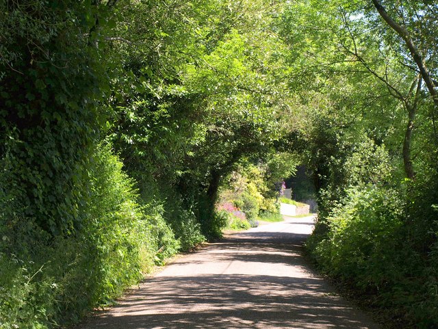
Image: © Derek Harper Taken: 3 Jun 2011
The tree-lined road east-north-east of the village, with flowers visible in front of properties a little further down the way.
Images are licensed for reuse under creativecommons.org/licenses/by-sa/2.0
Image Location
Latitude
50.961681
Longitude
-3.534528