View near Stoodleigh
Introduction
The photograph on this page of View near Stoodleigh by Derek Harper as part of the Geograph project.
The Geograph project started in 2005 with the aim of publishing, organising and preserving representative images for every square kilometre of Great Britain, Ireland and the Isle of Man.

There are currently over 7.5m images from over 14,400 individuals and you can help contribute to the project by visiting https://www.geograph.org.uk
View near Stoodleigh
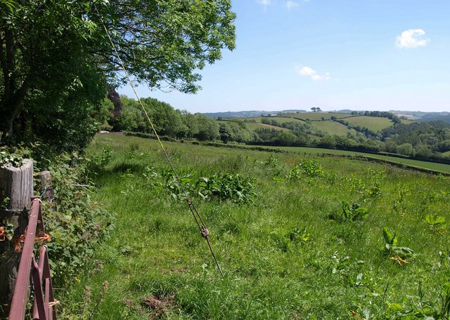
Image: © Derek Harper Taken: 3 Jun 2011
From the lane to Dry Hill. The line of trees running away in the middle distance mark the line of a public access route across Carscombe. The isolated trees in the distance right of centre are on Dry Hill, in Image
Images are licensed for reuse under creativecommons.org/licenses/by-sa/2.0
Image Location
Latitude
50.961245
Longitude
-3.533517