Embankment by the A632
Introduction
The photograph on this page of Embankment by the A632 by Andrew Hill as part of the Geograph project.
The Geograph project started in 2005 with the aim of publishing, organising and preserving representative images for every square kilometre of Great Britain, Ireland and the Isle of Man.

There are currently over 7.5m images from over 14,400 individuals and you can help contribute to the project by visiting https://www.geograph.org.uk
Embankment by the A632
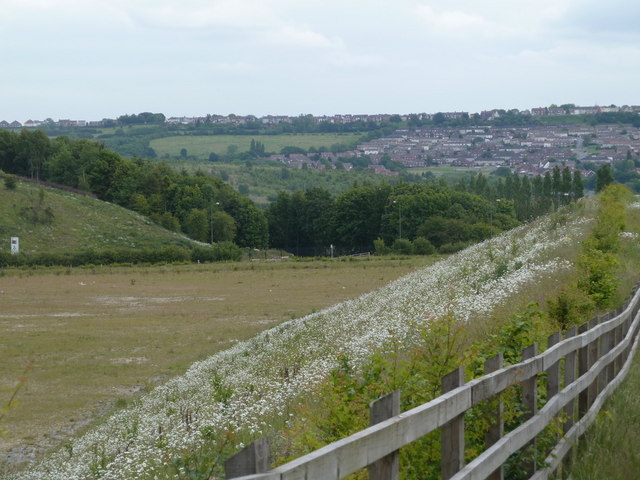
Image: © Andrew Hill Taken: 6 Jun 2011
Seen from the footpath, with a tall hedge between the path and the road creating a screen, so this view may be a surprise even to regular travellers along the road. Part of Bolsover can be seen on the hillside beyond.
Images are licensed for reuse under creativecommons.org/licenses/by-sa/2.0
Image Location
Latitude
53.23658
Longitude
-1.330392