St Nicolas Park, Nuneaton
Introduction
The photograph on this page of St Nicolas Park, Nuneaton by David Stowell as part of the Geograph project.
The Geograph project started in 2005 with the aim of publishing, organising and preserving representative images for every square kilometre of Great Britain, Ireland and the Isle of Man.

There are currently over 7.5m images from over 14,400 individuals and you can help contribute to the project by visiting https://www.geograph.org.uk
St Nicolas Park, Nuneaton
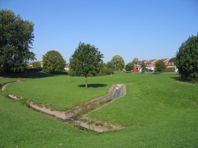
Image: © David Stowell Taken: 21 Sep 2006
The streams through this green area alongside Pallett Drive have been contained in concrete channelling they flows towards Coniston Way.
Images are licensed for reuse under creativecommons.org/licenses/by-sa/2.0
Image Location
Latitude
52.536264
Longitude
-1.445621