Kinlochlaich House at Appin
Introduction
The photograph on this page of Kinlochlaich House at Appin by James Denham as part of the Geograph project.
The Geograph project started in 2005 with the aim of publishing, organising and preserving representative images for every square kilometre of Great Britain, Ireland and the Isle of Man.

There are currently over 7.5m images from over 14,400 individuals and you can help contribute to the project by visiting https://www.geograph.org.uk
Kinlochlaich House at Appin
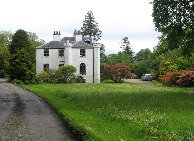
Image: © James Denham Taken: 2 Jun 2011
The house was built between the 17th. and 18th. centuries.
Images are licensed for reuse under creativecommons.org/licenses/by-sa/2.0
Image Location
Latitude
56.56589
Longitude
-5.355856