Wasteland/ Brownfield site?
Introduction
The photograph on this page of Wasteland/ Brownfield site? by Jennifer Luther Thomas as part of the Geograph project.
The Geograph project started in 2005 with the aim of publishing, organising and preserving representative images for every square kilometre of Great Britain, Ireland and the Isle of Man.

There are currently over 7.5m images from over 14,400 individuals and you can help contribute to the project by visiting https://www.geograph.org.uk
Wasteland/ Brownfield site?
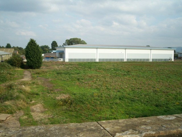
Image: © Jennifer Luther Thomas Taken: 20 Sep 2006
Industrial unit next to Northway Trading Estate, beyond which lies the re-opened Ashchurch (for Tewkesbury) railway station. Previously this was the site of a railway junction, with lines running straight ahead towards Evesham and curving to the right to join the Birmingham to Bristol main line.
Images are licensed for reuse under creativecommons.org/licenses/by-sa/2.0
Image Location


Leaflet Map data © OpenStreetMap
Latitude
51.998991
Longitude
-2.110654