Galley Hill Iron Age Fort
Introduction
The photograph on this page of Galley Hill Iron Age Fort by Martin Addison as part of the Geograph project.
The Geograph project started in 2005 with the aim of publishing, organising and preserving representative images for every square kilometre of Great Britain, Ireland and the Isle of Man.

There are currently over 7.5m images from over 14,400 individuals and you can help contribute to the project by visiting https://www.geograph.org.uk
Galley Hill Iron Age Fort
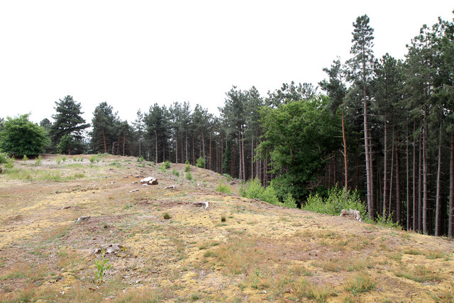
Image: © Martin Addison Taken: 2 Jun 2011
Located in the southwestern corner of The Lodge RSPB Reserve, the earth banks of the Hillfort are well preserved. The fort is broadly rectangular in shape. It would have given a good view to the south and west over the Ivel valley.
Images are licensed for reuse under creativecommons.org/licenses/by-sa/2.0
Image Location
Latitude
52.11609
Longitude
-0.271898