Boundary Lane
Introduction
The photograph on this page of Boundary Lane by K A as part of the Geograph project.
The Geograph project started in 2005 with the aim of publishing, organising and preserving representative images for every square kilometre of Great Britain, Ireland and the Isle of Man.

There are currently over 7.5m images from over 14,400 individuals and you can help contribute to the project by visiting https://www.geograph.org.uk
Boundary Lane
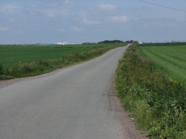
Image: © K A Taken: 4 Jun 2011
Forty or so years ago this was a very rough track, totally impassable for normal road vehicles. It has been improved on more than one occasion and now has a reasonable surface
Images are licensed for reuse under creativecommons.org/licenses/by-sa/2.0
Image Location
Latitude
53.675384
Longitude
-2.892944