Flush bracket 0749 S on the former Oddfellows Hall
Introduction
The photograph on this page of Flush bracket 0749 S on the former Oddfellows Hall by John S Turner as part of the Geograph project.
The Geograph project started in 2005 with the aim of publishing, organising and preserving representative images for every square kilometre of Great Britain, Ireland and the Isle of Man.

There are currently over 7.5m images from over 14,400 individuals and you can help contribute to the project by visiting https://www.geograph.org.uk
Flush bracket 0749 S on the former Oddfellows Hall
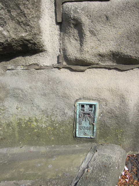
Image: © John S Turner Taken: 28 Apr 2011
This Ordnance Survey flush bracket is on the north west corner of a large building in Church Brow. The 1886 Town Plans record the building as a 'Sunday School', and later the O.S. name it as the Oddfellows Hall. I think it is now business premises. A plaque on the wall dates the building to 1851.
Images are licensed for reuse under creativecommons.org/licenses/by-sa/2.0
Image Location
Latitude
53.874917
Longitude
-2.389787