Hillfoot Road, Masonhill
Introduction
The photograph on this page of Hillfoot Road, Masonhill by Mary and Angus Hogg as part of the Geograph project.
The Geograph project started in 2005 with the aim of publishing, organising and preserving representative images for every square kilometre of Great Britain, Ireland and the Isle of Man.

There are currently over 7.5m images from over 14,400 individuals and you can help contribute to the project by visiting https://www.geograph.org.uk
Hillfoot Road, Masonhill
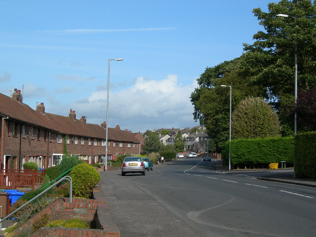
Image: © Mary and Angus Hogg Taken: 19 Sep 2006
Hillfoot Road approximately indicates the edge of the post-glacial raised beach on which most of Ayr is built. Masonhill is built on drumlins, deposited during the last Ice Age.
Images are licensed for reuse under creativecommons.org/licenses/by-sa/2.0
Image Location
Latitude
55.450638
Longitude
-4.602602