High Field
Introduction
The photograph on this page of High Field by Simon Carey as part of the Geograph project.
The Geograph project started in 2005 with the aim of publishing, organising and preserving representative images for every square kilometre of Great Britain, Ireland and the Isle of Man.

There are currently over 7.5m images from over 14,400 individuals and you can help contribute to the project by visiting https://www.geograph.org.uk
High Field
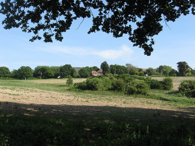
Image: © Simon Carey Taken: 2 Jun 2011
The name of the field according to Arlington's 1843 tithe map viewed from the junction of footpaths next to the A27. The clump of bushes in the foreground marks the site of a spring whilst the house in view beyond it is Merrivale that lies at the northern end of the lane to Milton Street.
Images are licensed for reuse under creativecommons.org/licenses/by-sa/2.0
Image Location
Latitude
50.823102
Longitude
0.178948