Woodthorpe Road north of Shuttlewood
Introduction
The photograph on this page of Woodthorpe Road north of Shuttlewood by Andrew Hill as part of the Geograph project.
The Geograph project started in 2005 with the aim of publishing, organising and preserving representative images for every square kilometre of Great Britain, Ireland and the Isle of Man.

There are currently over 7.5m images from over 14,400 individuals and you can help contribute to the project by visiting https://www.geograph.org.uk
Woodthorpe Road north of Shuttlewood
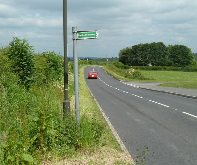
Image: © Andrew Hill Taken: 2 Jun 2011
The B6419 passing the houses at Bentinck Road just off to the right.
Images are licensed for reuse under creativecommons.org/licenses/by-sa/2.0
Image Location
Latitude
53.255935
Longitude
-1.304008