Footpath from Warborough to Rokemarsh
Introduction
The photograph on this page of Footpath from Warborough to Rokemarsh by Roger Templeman as part of the Geograph project.
The Geograph project started in 2005 with the aim of publishing, organising and preserving representative images for every square kilometre of Great Britain, Ireland and the Isle of Man.

There are currently over 7.5m images from over 14,400 individuals and you can help contribute to the project by visiting https://www.geograph.org.uk
Footpath from Warborough to Rokemarsh
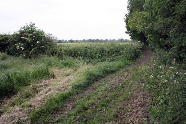
Image: © Roger Templeman Taken: 2 Jun 2011
At this point the path goes from being beside open wheat fields to a fenced section.
Images are licensed for reuse under creativecommons.org/licenses/by-sa/2.0
Image Location
Latitude
51.63341
Longitude
-1.107901