Old path from Pastures to Woodbrook
Introduction
The photograph on this page of Old path from Pastures to Woodbrook by Michael Fox as part of the Geograph project.
The Geograph project started in 2005 with the aim of publishing, organising and preserving representative images for every square kilometre of Great Britain, Ireland and the Isle of Man.

There are currently over 7.5m images from over 14,400 individuals and you can help contribute to the project by visiting https://www.geograph.org.uk
Old path from Pastures to Woodbrook
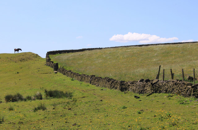
Image: © Michael Fox Taken: 3 Jun 2011
This is one of a large network of paths in Saddleworth that are likely to have originated as links between the many hamlets which once engaged in the home-based manufacture of textiles.
Images are licensed for reuse under creativecommons.org/licenses/by-sa/2.0
Image Location
Latitude
53.546037
Longitude
-2.051424