Approaching Barnoldswick Road, Higherford
Introduction
The photograph on this page of Approaching Barnoldswick Road, Higherford by Chris Heaton as part of the Geograph project.
The Geograph project started in 2005 with the aim of publishing, organising and preserving representative images for every square kilometre of Great Britain, Ireland and the Isle of Man.

There are currently over 7.5m images from over 14,400 individuals and you can help contribute to the project by visiting https://www.geograph.org.uk
Approaching Barnoldswick Road, Higherford
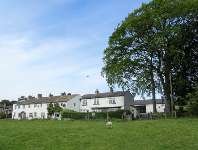
Image: © Chris Heaton Taken: 25 May 2011
A short path leads from Red lane towards these dwellings on Barnoldswick Road, Higherford.
Images are licensed for reuse under creativecommons.org/licenses/by-sa/2.0
Image Location
Latitude
53.863695
Longitude
-2.202958