Boardwalk carrying the London LOOP through Donkey Woods
Introduction
The photograph on this page of Boardwalk carrying the London LOOP through Donkey Woods by Marathon as part of the Geograph project.
The Geograph project started in 2005 with the aim of publishing, organising and preserving representative images for every square kilometre of Great Britain, Ireland and the Isle of Man.

There are currently over 7.5m images from over 14,400 individuals and you can help contribute to the project by visiting https://www.geograph.org.uk
Boardwalk carrying the London LOOP through Donkey Woods
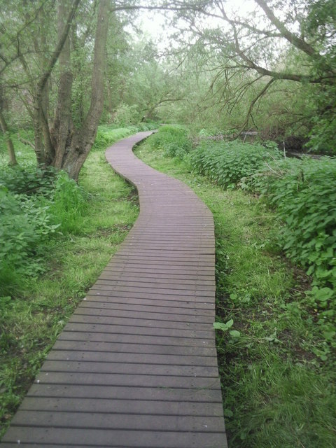
Image: © Marathon Taken: 20 Apr 2011
The London LOOP follows the River Crane for some considerable distance from Hounslow Heath to the Grand Union Canal at Southall. This is north of Baber Bridge where the LOOP continues through Donkey Woods. The river can just be seen to the right. The boardwalk continues for quite a long way.
Images are licensed for reuse under creativecommons.org/licenses/by-sa/2.0
Image Location


Leaflet Map data © OpenStreetMap
Latitude
51.463809
Longitude
-0.402951