Road junction, Port Isaac
Introduction
The photograph on this page of Road junction, Port Isaac by Derek Harper as part of the Geograph project.
The Geograph project started in 2005 with the aim of publishing, organising and preserving representative images for every square kilometre of Great Britain, Ireland and the Isle of Man.

There are currently over 7.5m images from over 14,400 individuals and you can help contribute to the project by visiting https://www.geograph.org.uk
Road junction, Port Isaac
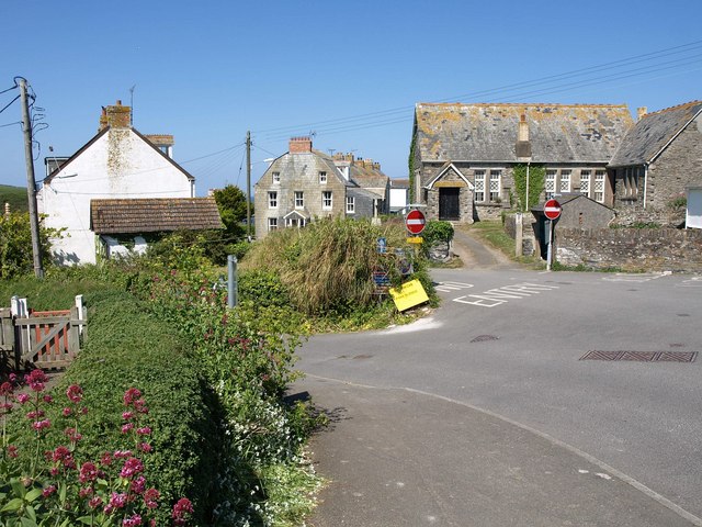
Image: © Derek Harper Taken: 28 Apr 2011
At the extreme right, New Road makes a sharp turn to the right. The no entry signs are at the top of Fore Street, which heads west and then south down to the harbour. Back Hill drops steeply to the left, taking a more direct route to the harbour.
Images are licensed for reuse under creativecommons.org/licenses/by-sa/2.0
Image Location


Leaflet Map data © OpenStreetMap
Latitude
50.593857
Longitude
-4.830107