Hounslow Heath
Introduction
The photograph on this page of Hounslow Heath by Marathon as part of the Geograph project.
The Geograph project started in 2005 with the aim of publishing, organising and preserving representative images for every square kilometre of Great Britain, Ireland and the Isle of Man.

There are currently over 7.5m images from over 14,400 individuals and you can help contribute to the project by visiting https://www.geograph.org.uk
Hounslow Heath
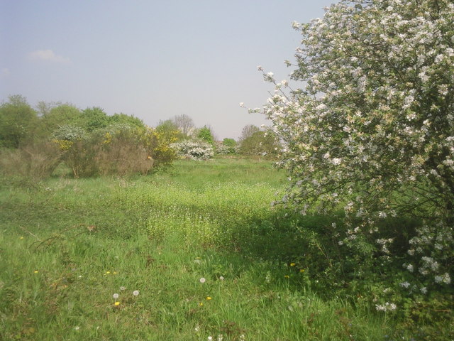
Image: © Marathon Taken: 20 Apr 2011
Hounslow Heath once covered 4,000 acres but is now only 200 acres. However, it still has a feeling of spaciousness and is a very easy place to get lost. No doubt this was one of the features which made it a favourite haunt of highwaymen. The London LOOP crosses the Heath and this photograph was taken close to that path.
Images are licensed for reuse under creativecommons.org/licenses/by-sa/2.0
Image Location
Latitude
51.456199
Longitude
-0.379179