Park Mead
Introduction
The photograph on this page of Park Mead by Simon Carey as part of the Geograph project.
The Geograph project started in 2005 with the aim of publishing, organising and preserving representative images for every square kilometre of Great Britain, Ireland and the Isle of Man.

There are currently over 7.5m images from over 14,400 individuals and you can help contribute to the project by visiting https://www.geograph.org.uk
Park Mead
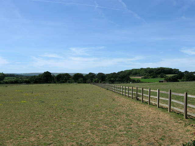
Image: © Simon Carey Taken: 1 Jun 2011
The name of the field according to Arlington's 1843 tithe map that was once part of Michelham Priory's deer park and I think it may well be owned by St Bede's and used as paddocks for their horses. Park Wood is in the distance to the right on the ridge.
Images are licensed for reuse under creativecommons.org/licenses/by-sa/2.0
Image Location
Latitude
50.863325
Longitude
0.206545