Forest
Introduction
The photograph on this page of Forest by Richard Webb as part of the Geograph project.
The Geograph project started in 2005 with the aim of publishing, organising and preserving representative images for every square kilometre of Great Britain, Ireland and the Isle of Man.

There are currently over 7.5m images from over 14,400 individuals and you can help contribute to the project by visiting https://www.geograph.org.uk
Forest
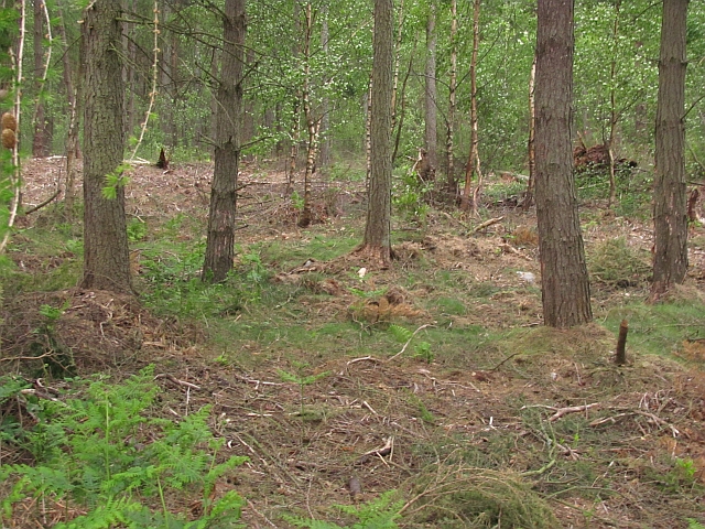
Image: © Richard Webb Taken: 1 Jun 2011
Devilla Forest. There has been a lot of rhododendron clearing recently. The next edition of the orienteering map will have a lot less green on it.
Images are licensed for reuse under creativecommons.org/licenses/by-sa/2.0
Image Location
Latitude
56.06902
Longitude
-3.689316