The Rope Walk, Sandwich
Introduction
The photograph on this page of The Rope Walk, Sandwich by David Anstiss as part of the Geograph project.
The Geograph project started in 2005 with the aim of publishing, organising and preserving representative images for every square kilometre of Great Britain, Ireland and the Isle of Man.

There are currently over 7.5m images from over 14,400 individuals and you can help contribute to the project by visiting https://www.geograph.org.uk
The Rope Walk, Sandwich
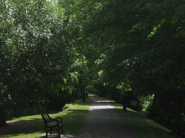
Image: © David Anstiss Taken: 30 May 2011
This path leads on a former section of Sandwich City Wall leading between New Street and Moat Sole. On the right, beyond the trees is a moat used by anglers. The path is also used by the Saxon Shore Way and Stour Valley Walks (long distance paths).
Images are licensed for reuse under creativecommons.org/licenses/by-sa/2.0
Image Location
Latitude
51.272694
Longitude
1.338354