Chapel Lane
Introduction
The photograph on this page of Chapel Lane by Oast House Archive as part of the Geograph project.
The Geograph project started in 2005 with the aim of publishing, organising and preserving representative images for every square kilometre of Great Britain, Ireland and the Isle of Man.

There are currently over 7.5m images from over 14,400 individuals and you can help contribute to the project by visiting https://www.geograph.org.uk
Chapel Lane
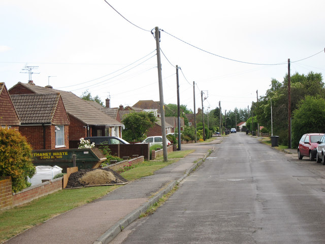
Image: © Oast House Archive Taken: 31 May 2011
A dead end road off the A290 Blean Common. The lane leads of Walnut Tree Farm and a footpath continues into Clowes Wood.
Images are licensed for reuse under creativecommons.org/licenses/by-sa/2.0
Image Location
Latitude
51.309193
Longitude
1.042213