Staveley Lane towards junction at Breck Farm Cottages
Introduction
The photograph on this page of Staveley Lane towards junction at Breck Farm Cottages by Andrew Hill as part of the Geograph project.
The Geograph project started in 2005 with the aim of publishing, organising and preserving representative images for every square kilometre of Great Britain, Ireland and the Isle of Man.

There are currently over 7.5m images from over 14,400 individuals and you can help contribute to the project by visiting https://www.geograph.org.uk
Staveley Lane towards junction at Breck Farm Cottages
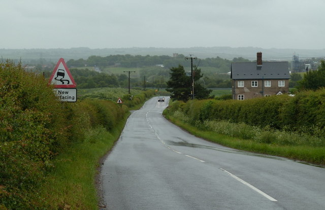
Image: © Andrew Hill Taken: 30 May 2011
The lane descends to the crossroads, beyond which it becomes Hall Lane through to Staveley - it can be seen climbing the hill in the middle distance with Staveley church tower also visible.
Images are licensed for reuse under creativecommons.org/licenses/by-sa/2.0
Image Location
Latitude
53.278591
Longitude
-1.369329