North Coombe Farm
Introduction
The photograph on this page of North Coombe Farm by Derek Harper as part of the Geograph project.
The Geograph project started in 2005 with the aim of publishing, organising and preserving representative images for every square kilometre of Great Britain, Ireland and the Isle of Man.

There are currently over 7.5m images from over 14,400 individuals and you can help contribute to the project by visiting https://www.geograph.org.uk
North Coombe Farm
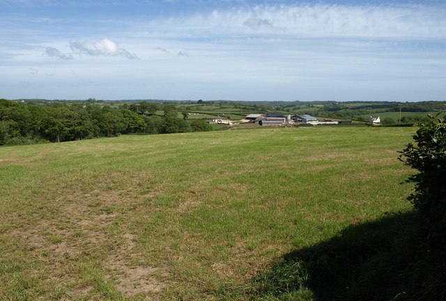
Image: © Derek Harper Taken: 25 May 2011
A wider angle on the view in Image, which was taken further south down the lane from Crowdhole Cross to Bradford Barton, and which is followed by the Two Moors Way. The wood on the left occupies the valley of a tributary of the Little Dart.
Images are licensed for reuse under creativecommons.org/licenses/by-sa/2.0
Image Location
Latitude
50.942211
Longitude
-3.675233