Rookery Hill, Ashtead
Introduction
The photograph on this page of Rookery Hill, Ashtead by Colin Smith as part of the Geograph project.
The Geograph project started in 2005 with the aim of publishing, organising and preserving representative images for every square kilometre of Great Britain, Ireland and the Isle of Man.

There are currently over 7.5m images from over 14,400 individuals and you can help contribute to the project by visiting https://www.geograph.org.uk
Rookery Hill, Ashtead
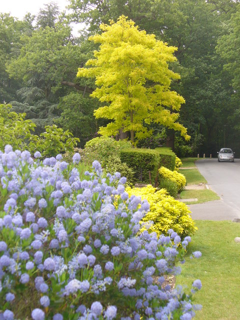
Image: © Colin Smith Taken: 29 May 2011
Driveway into Ashtead Park, once the manor of the Howards. The estate was created in 1680.
Images are licensed for reuse under creativecommons.org/licenses/by-sa/2.0
Image Location
Latitude
51.310281
Longitude
-0.292642