Lulworth park
Introduction
The photograph on this page of Lulworth park by Nigel Mykura as part of the Geograph project.
The Geograph project started in 2005 with the aim of publishing, organising and preserving representative images for every square kilometre of Great Britain, Ireland and the Isle of Man.

There are currently over 7.5m images from over 14,400 individuals and you can help contribute to the project by visiting https://www.geograph.org.uk
Lulworth park
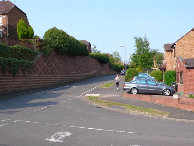
Image: © Nigel Mykura Taken: 30 Apr 2011
This is a recent housing development on the steep northern slopes of Knowle Hill just off Dalehouse lane. Quite large retaining walls have been built to prevent soil movement. the road in the foreground is a short link road between Lulworth park and Dalehouse lane.
Images are licensed for reuse under creativecommons.org/licenses/by-sa/2.0
Image Location
Latitude
52.352531
Longitude
-1.558329