Platform postbox Bishops Lydeard
Introduction
The photograph on this page of Platform postbox Bishops Lydeard by Sarah Smith as part of the Geograph project.
The Geograph project started in 2005 with the aim of publishing, organising and preserving representative images for every square kilometre of Great Britain, Ireland and the Isle of Man.

There are currently over 7.5m images from over 14,400 individuals and you can help contribute to the project by visiting https://www.geograph.org.uk
Platform postbox Bishops Lydeard
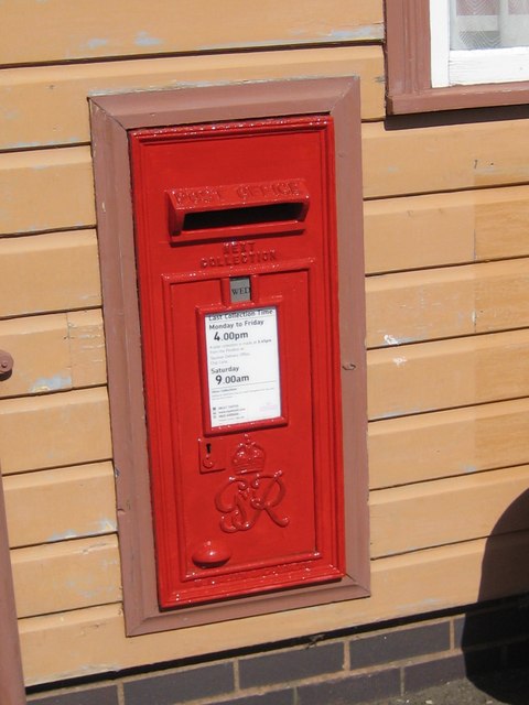
Image: © Sarah Smith Taken: 24 May 2011
The station postbox is still being used but it is doubtful whether the letters travel by train to the sorting office!
Images are licensed for reuse under creativecommons.org/licenses/by-sa/2.0
Image Location


Leaflet Map data © OpenStreetMap
Latitude
51.053531
Longitude
-3.192705