River Isla below Coupar Angus
Introduction
The photograph on this page of River Isla below Coupar Angus by Russel Wills as part of the Geograph project.
The Geograph project started in 2005 with the aim of publishing, organising and preserving representative images for every square kilometre of Great Britain, Ireland and the Isle of Man.

There are currently over 7.5m images from over 14,400 individuals and you can help contribute to the project by visiting https://www.geograph.org.uk
River Isla below Coupar Angus
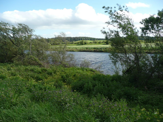
Image: © Russel Wills Taken: 29 May 2011
The bank is very lush and overgrown. The trees form an almost continuous belt hiding the river.
Images are licensed for reuse under creativecommons.org/licenses/by-sa/2.0
Image Location
Latitude
56.548519
Longitude
-3.30753