Hilltown Cross
Introduction
The photograph on this page of Hilltown Cross by Derek Harper as part of the Geograph project.
The Geograph project started in 2005 with the aim of publishing, organising and preserving representative images for every square kilometre of Great Britain, Ireland and the Isle of Man.

There are currently over 7.5m images from over 14,400 individuals and you can help contribute to the project by visiting https://www.geograph.org.uk
Hilltown Cross
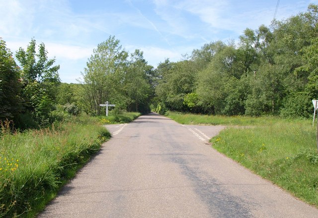
Image: © Derek Harper Taken: 25 May 2011
The lane ahead (to Witheridge), and that to the left (for Cruwys Morchard), both cross into Image immediately past the crossroads. The right turn, signposted Rackenford, leads past the farm shown in creativecommons.org/licenses/by-sa/2.0
Image Location
Latitude
50.932049
Longitude
-3.630751