A6175 between North Wingfield and Clay Cross
Introduction
The photograph on this page of A6175 between North Wingfield and Clay Cross by Andrew Hill as part of the Geograph project.
The Geograph project started in 2005 with the aim of publishing, organising and preserving representative images for every square kilometre of Great Britain, Ireland and the Isle of Man.

There are currently over 7.5m images from over 14,400 individuals and you can help contribute to the project by visiting https://www.geograph.org.uk
A6175 between North Wingfield and Clay Cross
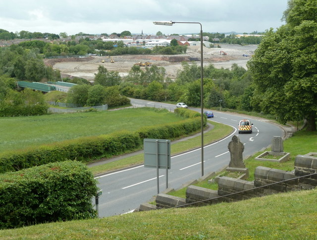
Image: © Andrew Hill Taken: 27 May 2011
View from by the church gateway near the top of the hill, with the road descending to the railway and river bridge across the Rother valley. The clearance of the extensive Clay Cross Pipe Works industrial site can be seen.
Images are licensed for reuse under creativecommons.org/licenses/by-sa/2.0
Image Location
Latitude
53.174283
Longitude
-1.39719