Henfield Road, Upper Beeding
Introduction
The photograph on this page of Henfield Road, Upper Beeding by Chris Heaton as part of the Geograph project.
The Geograph project started in 2005 with the aim of publishing, organising and preserving representative images for every square kilometre of Great Britain, Ireland and the Isle of Man.

There are currently over 7.5m images from over 14,400 individuals and you can help contribute to the project by visiting https://www.geograph.org.uk
Henfield Road, Upper Beeding
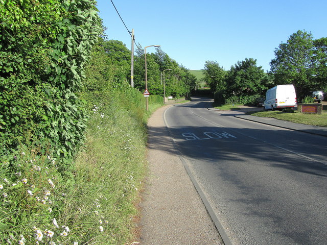
Image: © Chris Heaton Taken: 10 May 2011
Looking east up the A2037 from the Rising Sun Inn
Images are licensed for reuse under creativecommons.org/licenses/by-sa/2.0
Image Location
Latitude
50.879984
Longitude
-0.299746