Mansfield Road south of Clowne
Introduction
The photograph on this page of Mansfield Road south of Clowne by Andrew Hill as part of the Geograph project.
The Geograph project started in 2005 with the aim of publishing, organising and preserving representative images for every square kilometre of Great Britain, Ireland and the Isle of Man.

There are currently over 7.5m images from over 14,400 individuals and you can help contribute to the project by visiting https://www.geograph.org.uk
Mansfield Road south of Clowne
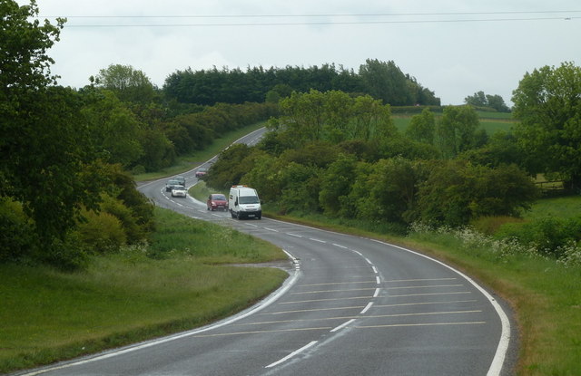
Image: © Andrew Hill Taken: 26 May 2011
Looking south along the B6417 which keeps close to the highest ground between the M1 and the Trent.
Images are licensed for reuse under creativecommons.org/licenses/by-sa/2.0
Image Location
Latitude
53.263087
Longitude
-1.267461