Houses in Hog Lane, Amberley
Introduction
The photograph on this page of Houses in Hog Lane, Amberley by Marathon as part of the Geograph project.
The Geograph project started in 2005 with the aim of publishing, organising and preserving representative images for every square kilometre of Great Britain, Ireland and the Isle of Man.

There are currently over 7.5m images from over 14,400 individuals and you can help contribute to the project by visiting https://www.geograph.org.uk
Houses in Hog Lane, Amberley
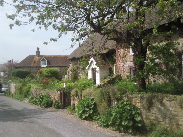
Image: © Marathon Taken: 26 Apr 2011
The houses in Amberley are generally attractive throughout the village. This view is in Hog Lane, parallel to the better-known Church Street.
Images are licensed for reuse under creativecommons.org/licenses/by-sa/2.0
Image Location
Latitude
50.909612
Longitude
-0.534932